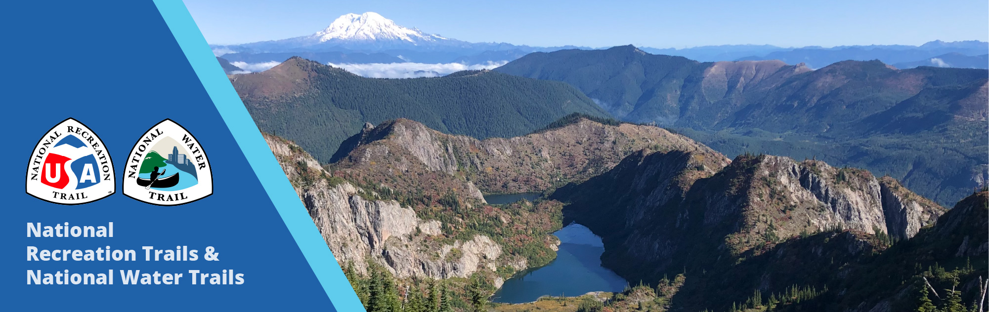
National Recreation Trails Database
Find Trails
9 New National Recreation Trails Added to the National Trail System
Nine new National Recreation Trails in 9 states, adding 340 miles to the National Recreation Trails system of more than 1,300 trails in all 50 states.
View the Trails Read the Article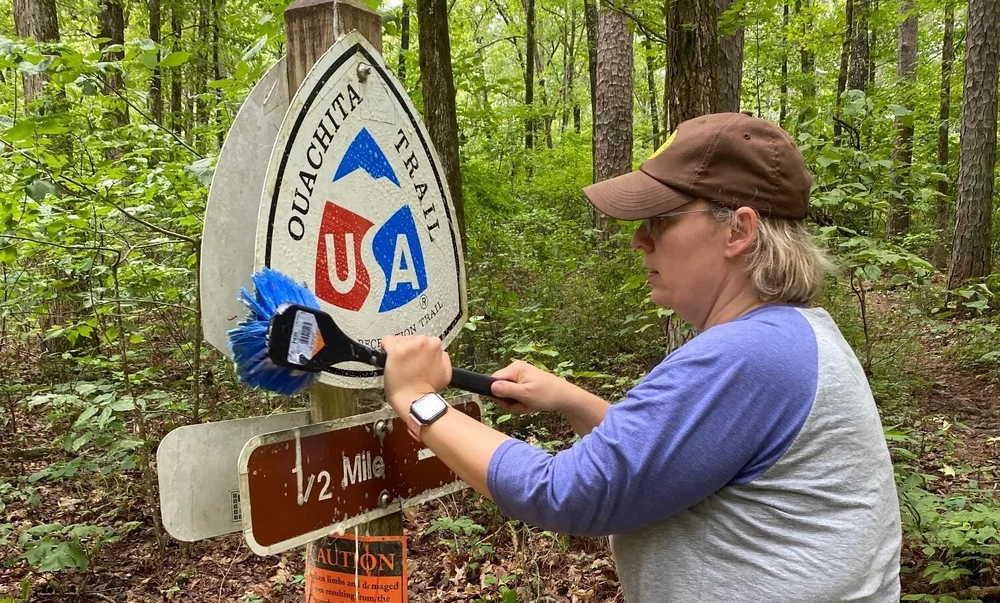
What is an NRT?
The National Recreation Trail system was created by an act of Congress in 1968. Learn more about this historic event and the legacy of NRTs.
Update a Trail
Trail managers, learn how to submit an edit to your trail.
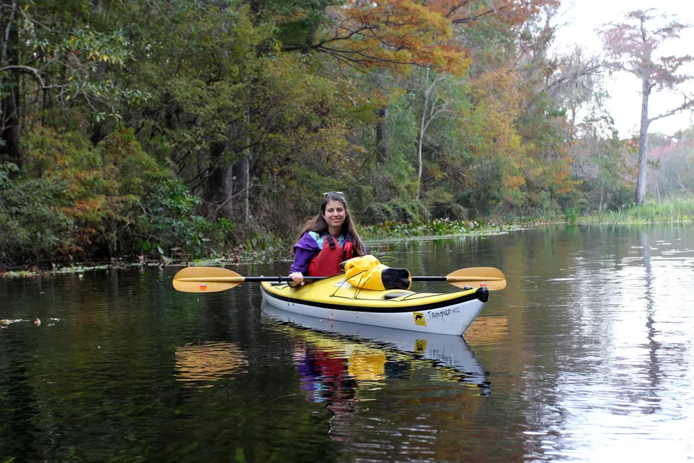
National Water Trails
National Water Trails are a sub-set of the National Recreation Trails Program.
Apply for Designation
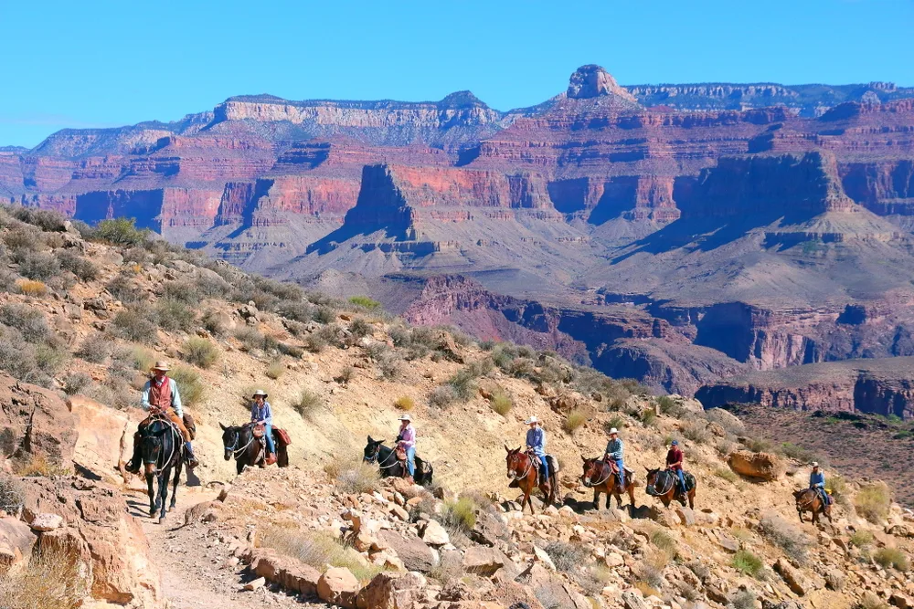
The NRTs work to preserve and celebrate our nation's pathways. We invite you to explore America’s great national system of trails and greenways.
Join over 1,300 trails in the NRT System
New designations of National Recreation Trails are announced each year, generally by the Secretary of Interior prior to National Trails Day in June. Trails on USDA land (including National Forests) follow a separate designation process.


Applications are due November 1 of each year.
Create your account